Regional
Rajbongshi expressed deep despair over his physical disability and highlighted the hardships he faced
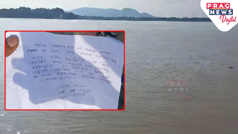
Digital Desk: A heartbreaking event occurred on board the MV Bhagirathi ferry, which was travelling from Guwahati to Rajaduar in

The bridge is a second structure that China is building in an area along India's claim line but is more than 20 km east of where India claims the Line of Actual Control passes through.
Digital Desk: Today, the Ministry of External Affairs said
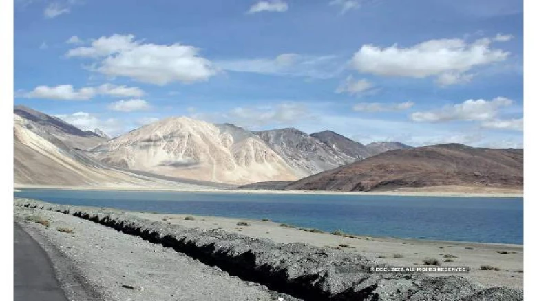
China is constructing a second bridge on the Pangong Tso lake in eastern Ladakh, right next to the one
it had erected earlier this year. The ministry added that the area where the
construction is taking place is under illegal occupation and stated that India
had not accepted the unjustified claims of China or such construction
activities.
The government
"keeps a constant watch on all developments that have a bearing on India's
security and takes all necessary measures to safeguard its sovereignty and
territorial integrity," MEA Spokesperson Arindam Bagchi said.
The bridge is a second
structure that China is building in an area along India's claim line but is
more than 20 km east of where India claims the Line of Actual Control passes
through.
On Friday, Bagchi said,
"We have seen reports of a bridge being constructed by China on Pangong
Lake alongside its earlier bridge. Both these bridges are in areas that have continued
to be under the illegal occupation of China since the 1960s. We have never
accepted such illegal occupation of our territory, nor have we accepted the
unjustified Chinese claim or such construction activities."
He said that India has
"made it clear that the Union Territories of Jammu & Kashmir and
Ladakh are an integral part of India, and we expect other countries to respect
India's sovereignty and territorial integrity."
According to senior
defense establishment officials, the bridge in question is a wider, second
bridge that China is building right next to the one it had constructed earlier
this year. The work on this has been on for a few months.
A senior defense
establishment official said that it was believed that China was building a temporary
structure to facilitate some work for the first bridge. But, he said, "Now
it is the other way round," and added, "This is the permanent bridge,
and the first one seems to have been built to help build this."
The official said he was
not sure of the dimensions of the bridge. Still, the first bridge that was
visible in the satellite images was about 400 meters long, eight meters wide,
and was believed to be built for force movement between the north and south
banks of Pangong Tso, which were two of the most contentious friction points of
the over the two-year-long ongoing standoff in eastern Ladakh.
The official said,
"We can safely assume it is meant for the forces to move between the north
and south banks of the lake." Regarding the bridge's capacity, he said
that it would allow for the movement of all types of military vehicles,
including tanks. "Everything," he said, "Why else will they make
it?" he asked.
He said the bridge would
facilitate early response and deployment of mechanized forces. Although the
area is being monitored, the official said it is unknown when is the new bridge
being built. The official said the timelines had not been kept since it was
meant to be a temporary structure initially but maybe a couple of months.
The bridge site,
adjacent to the previous one, is around 20 km east of Finger 8 on the north
bank of the lake, where India says the LAC passes through. But by road, it
would be over 35 km from Finger 8.
The area has been under
Chinese control since 1958, even though it is just west of India's claim line,
which is its international boundary according to India. That makes it within
India's claimed territory.
It is close to just east
of a ruin named Khurnak Fort, where China has major frontier defense bases, and
the region is called Rutong County by China. China has a frontier defense
company at the Khurnak Fort, and further east, China also has a water squadron
deployed at Banmozhang.
The bridge is near the
halfway mark of the boomerang-shaped 135-km-long Pangong Tso. India has about
45 km of the lake under its control.


Leave A Comment