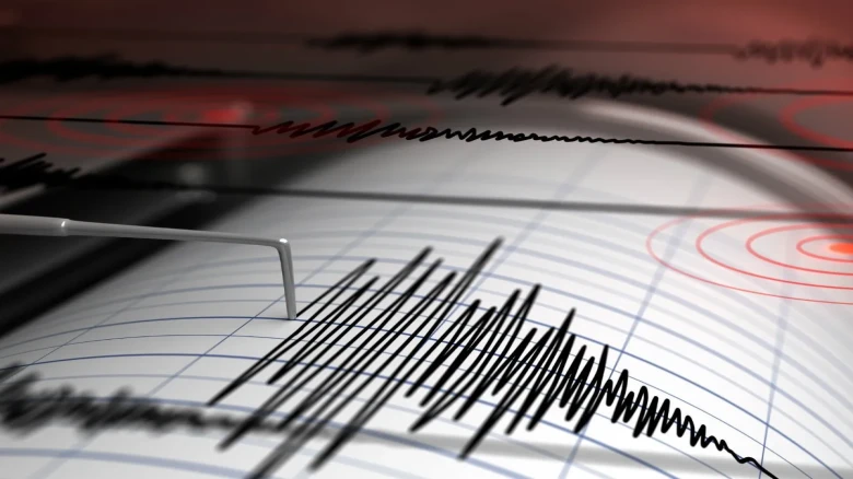
Zone 5 experiences the most powerful earthquakes, whereas zone 2 experiences the weakest ones
Digital Desk: How earthquake-prone India is? One wonders as Turkey and Syria struggle with the aftermath of deadly tremors that claimed nearly 5,000 lives. The government estimates that a total of 59% of India's land area is prone to earthquakes of varying magnitude. Zone-5 cities and villages in eight states and Union Territories are vulnerable to the strongest earthquakes. Zone-4, the second-highest level, includes even the National Capital Region.
According to Jitendra Singh, minister of state for science, technology, and earth sciences, "considering the recorded history of earthquakes in the country, a total of 59% of the land mass of India is prone to earthquakes of varied intensities" in July 2021. He claimed that the entire area was divided into four seismic zones according to the country's seismic zoning chart.
The zone with the strongest earthquakes is zone 5, whereas the zone with the weakest earthquakes is zone 2. Zone 5 comprises about 11% of the country's land, Zone 4 comprises 18%, Zone 3 comprises 30%, and Zone 2 comprises the remaining area.
RISK IN HIMALAYAS
One of the seismically active parts of the earth is the middle Himalayan region. Kangara was struck by a significant earthquake in 1905.
A Bihar-Nepal earthquake that occurred in 1934 had an 8.2 magnitude and killed 10,000 people. Over 800 individuals were killed by a 6.8 magnitude earthquake in Uttarkashi in 1991. 80,000 people were killed in Kashmir in 2005 as a result of a 7.6 earthquake that struck the area.
Studies from 2016 suggested that the region has experienced tectonic stress for over 700 years, which may now or after 200 years be released. This will significantly affect the middle Himalayas.
Seismologists think that the Himalayan mountains, which were formed in the last 50 million years by the convergence of the Indo-Australian and Asian tectonic plates, are a manifestation of these earthquakes.
WHAT ARE THE AREAS PRONE TO EARTHQUAKES?
Gujarat, Himachal Pradesh, Bihar, Assam, Manipur, Nagaland, Jammu and Kashmir, and Andaman & Nicobar are states and UTs with cities and towns in zone 5.
The primary government organisation in charge of keeping track of earthquakes around the nation is the National Centre for Seismology. The National Seismological Network monitors seismic activity around the nation and consists of 115 observatories.
Delhi is situated close to Sohna, Mathura, and Delhi-Moradabad, with three active seismic fault lines. Gurugram is positioned on seven fault lines, making it the most dangerous area in Delhi-NCR, according to experts. A powerful earthquake is coming if these begin to function. Such a quake would be catastrophic.
According to seismologists, Delhi-NCR is susceptible to earthquakes because of its proximity to the Himalayas and the tectonic plate movements they cause. Delhi-NCR is impacted by any Himalayan belt earthquake. Other significant earthquakes in recorded history that occurred close to Delhi-NCR include those in Mathura (1803) and Bulandshahr (1956).


Leave A Comment