The frequency of summer monsoon extreme occurrences has doubled over Meghalaya throughout the months of May through October as compared to the baseline period (1950–1979)...........
Digital desk: According to a recent study conducted by academics in Bangladesh, India, and the United States, the consequences of climate change have caused extreme one-day rainfall occurrences over the northeastern regions of Bangladesh and India, including the state of Meghalaya, to triple over the four decades starting in 1979.
The study, which was published in the Quarterly Journal of the Royal Meteorological Society, discovered that over the medium- to long-term, the Southeast Bangladesh region may experience a quadrupling of extreme one-day rainfall events. Abdullah Al Fahad, lead author of the report and assistant research scientist at NASA Goddard Space Flight Center, emailed Mongabay-India, saying, "We have discovered that the worst cases of extreme rainfall events have already started occurring in this region due to climate change." Abdullah Al Fahad, assistant research scientist at the NASA Goddard Space Flight Center and lead author of the paper, told Mongabay-India over email. “Unfortunately, it will be very challenging to revert to previous climatological conditions, even with decreased CO2 emissions in the near future.”
Along with unequal rainfall distribution and extended dry spells, the northeastern area of India has experienced rainfall shortfalls recently. Fahad and his colleagues have now determined how the region's increasing frequency of intense rainfall and flooding is caused by climate change.
Extreme rainfall and flooding in June 2022 killed over 170 people in Assam alone and forced millions more to flee their homes in the India-Bangladesh region. Given the near geographic proximity of the Meghalaya and Assam regions of India with northern Bangladesh, many studies concentrate on data from only one of these nations, which does not adequately portray the picture. Politicians in Bangladesh and India must take into account meteorological data from both nations when evaluating how local communities are affected by climate change and developing plans to lessen the likelihood of disasters.
Changing Climate system:
The researchers were able to determine that historically, the most intense one-day events have occurred in the NorthEastern Bangladesh and India region (NEBI), SouthEast Bangladesh (SEB), and NorthWest Bangladesh (NWB), with the majority of these events taking place during the monsoon months of May and October.
Seasonal monsoon rainfall is caused by low level jets, which are streams of relatively strong winds in the lower atmosphere. These jets carry moisture from the Bay of Bengal northward inland, where it meets the topography of the area and transforms into heavy precipitation over a brief period of time, usually one to five days.
The researchers observed changes in extreme rainfall over a 72-year period using gridded meteorological data sets from the meteorological departments of Bangladesh and India. They discovered that, between 1979 and 2021, the frequency of summer monsoon extreme occurrences has doubled over Meghalaya throughout the months of May through October as compared to the baseline period (1950–1979), mostly due to variations in the low-level jet and warmer sea surface temperatures.
“Previous climate change studies focused on this specific region, concentrating solely on extreme rainfall events, and relied on only a handful of station data. More importantly, these studies utilized smaller temporal datasets, limiting their ability to separate climate change attribution from natural variability. We employed a large-scale gridded dataset based on multiple station data, as well as data spanning from the 1950s to the present, which enabled us to conclusively determine the influence of climate change on extreme precipitation events with statistical confidence,” said Fahad.
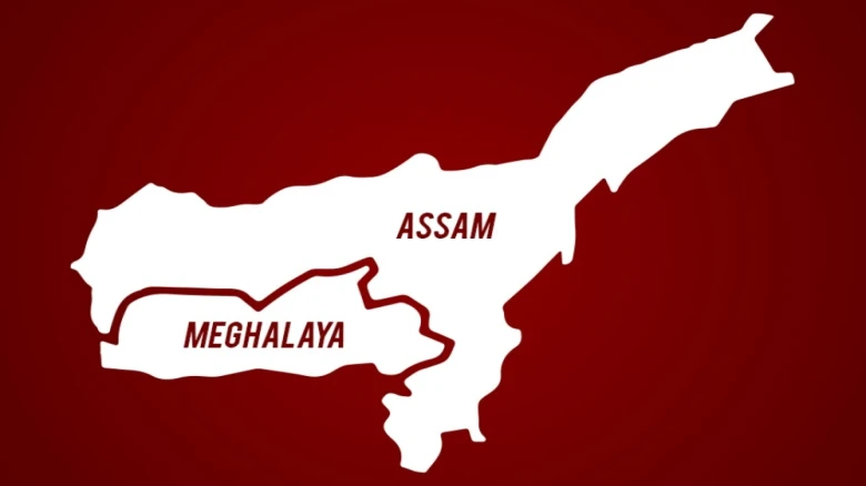
The CMIP6, a particular kind of climate model, was also employed in the study to forecast probable future patterns in the area's precipitation and rainfall. It concludes that over the NorthEast Bangladesh and India (NEBI) region, which encompasses the Meghalaya Plateau of India and the Sylhet division of Bangladesh, the frequency of one-day events "nearly doubles annually" by 2050–2079. According to the study, this is caused by "both a shift in the Bay of Bengal low level jet towards the north and seasonal mean increased humidity."
Preparing for Floods:
Assam is the most vulnerable state in the nation to hydro-meteorological disasters, according to a climate vulnerability index published by the Council on Energy, Environment, and Water (CEEW). However, human activity also increases vulnerability to catastrophes connected to climate change, in addition to the frequency of catastrophic events.
“There has been an unpragmatic expansion of infrastructure projects in the region that multiply the effects of flooding. Deforestation in the hills, which leads to more runoff, also causes the water to carry more sediment as it comes down, which makes the flooding worse,” said Partha Jyoti Das, an environmental scientist and head of the water, climate and hazards division at Aaranyak, an Assam based environmental NGO working on conservation and climate related issues.
Aaranyak is developing an integrated flood control plan with an emphasis on maintaining river basins and downstream effects. The plan calls for interstate collaboration and coordination. "In order to reach the most vulnerable groups, states must work toward improving their early warning and forecasting systems."


Leave A Comment