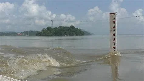
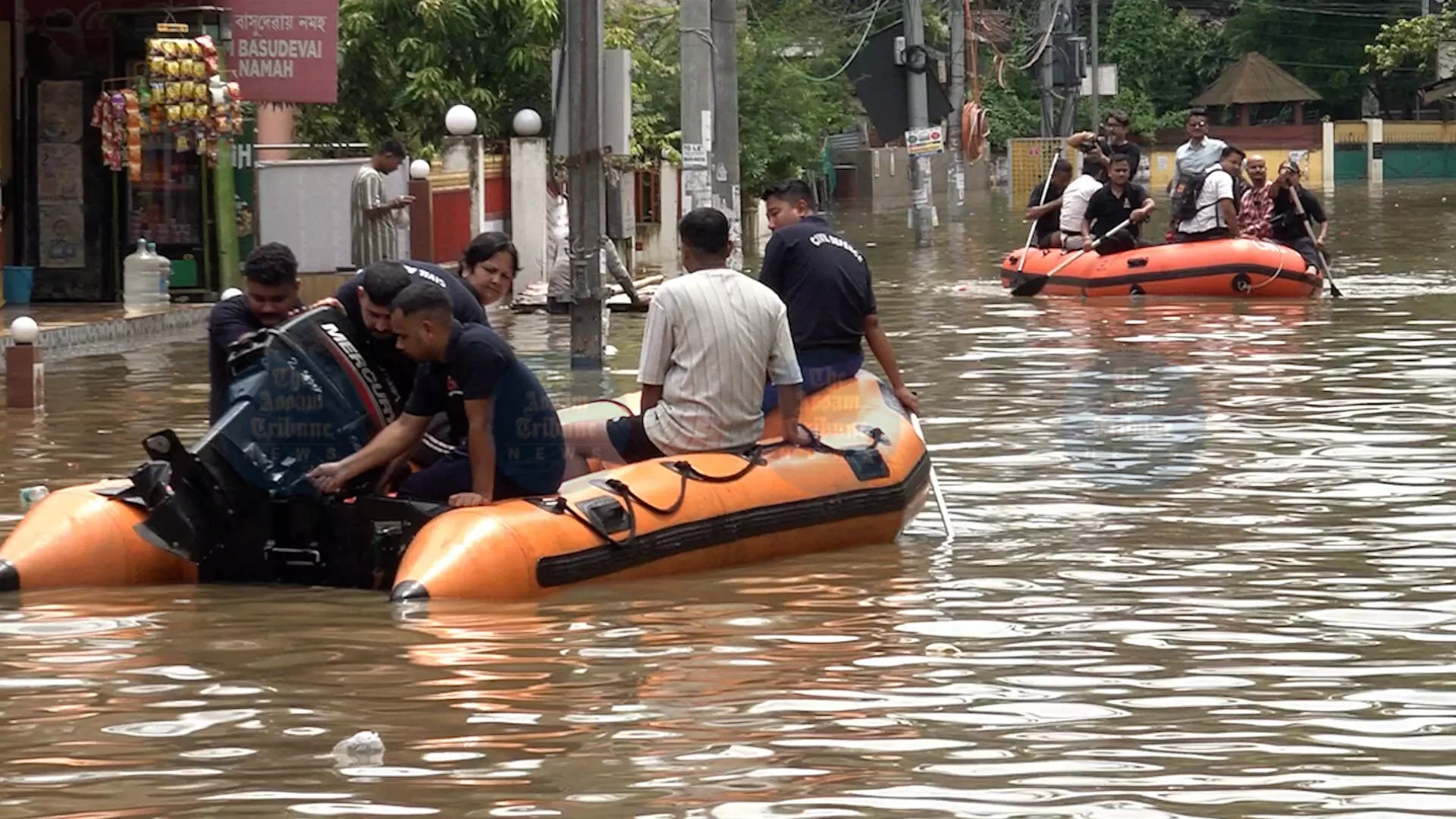
The recent severe urban flooding that crippled Guwahati on Thursday has fundamentally challenged the long-held official narrative attributing such disasters primarily to heavy rainfall in neighbouring Meghalaya. Data from the latest deluge suggests that the city's vulnerability stems overwhelmingly from intense, localized precipitation within its own limits, casting a shadow over the efficacy of existing infrastructure and substantial mitigation efforts.
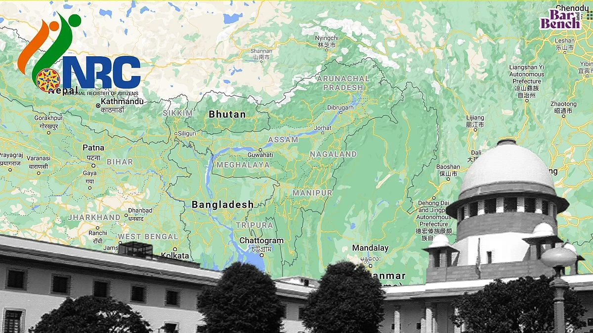
For years, state authorities have frequently pointed to torrents of water flowing downstream from Meghalaya's hills as the primary cause of Guwahati's recurring inundations. However, during Thursday's flooding, the bordering Ri Bhoi district of Meghalaya recorded only a modest 18 mm of rainfall at its Umtrewdam station. This stark contrast underscores that the recent waterlogging was predominantly a consequence of highly concentrated and extreme rainfall directly over Guwahati.
Several areas within the city experienced significant downpours, with localities like Khanapara, Sarusajai, and Kalakshetra receiving nearly 90 mm of rain in just two to three hours. Other parts of Guwahati city recorded between 60-70 mm of precipitation during the afternoon and early evening. Interestingly, the Borjhar area measured only 9 mm of rainfall between 8:30 am and 5:30 pm, further highlighting the uneven yet intense nature of the weather system responsible for the chaos.
This new understanding of localized intense rainfall as the primary trigger for urban floods in Guwahati raises serious questions about the city's preparedness and the effectiveness of extensive urban development initiatives. Doubts are now emerging regarding a significant drainage masterplan, reportedly valued at Rs 6,000 crore, which was designed to comprehensively address Guwahati's perennial flooding issues. The latest event necessitates a critical re-evaluation of urban planning strategies and drainage solutions to effectively tackle the evolving challenges posed by changing weather patterns.
Continue Reading