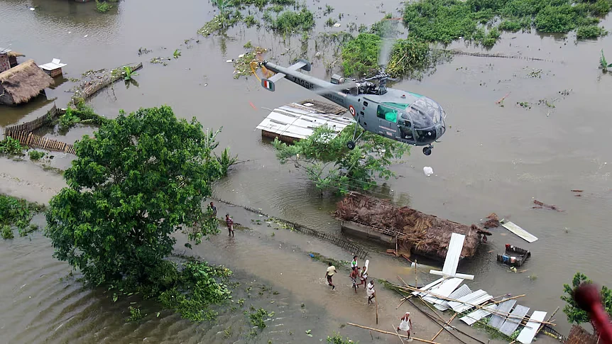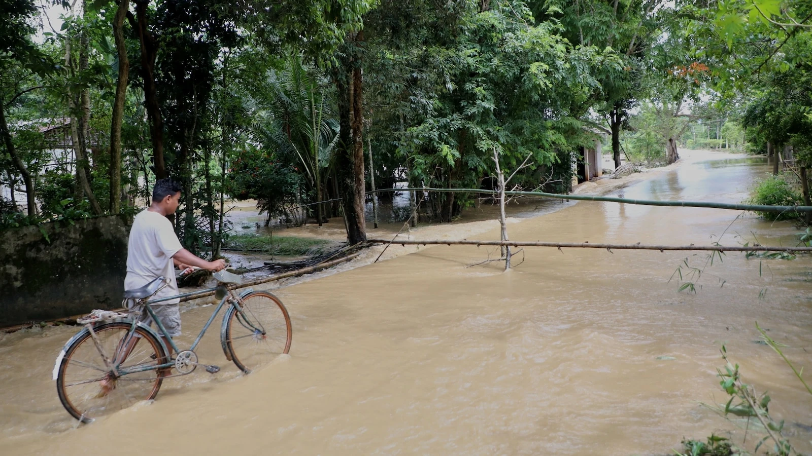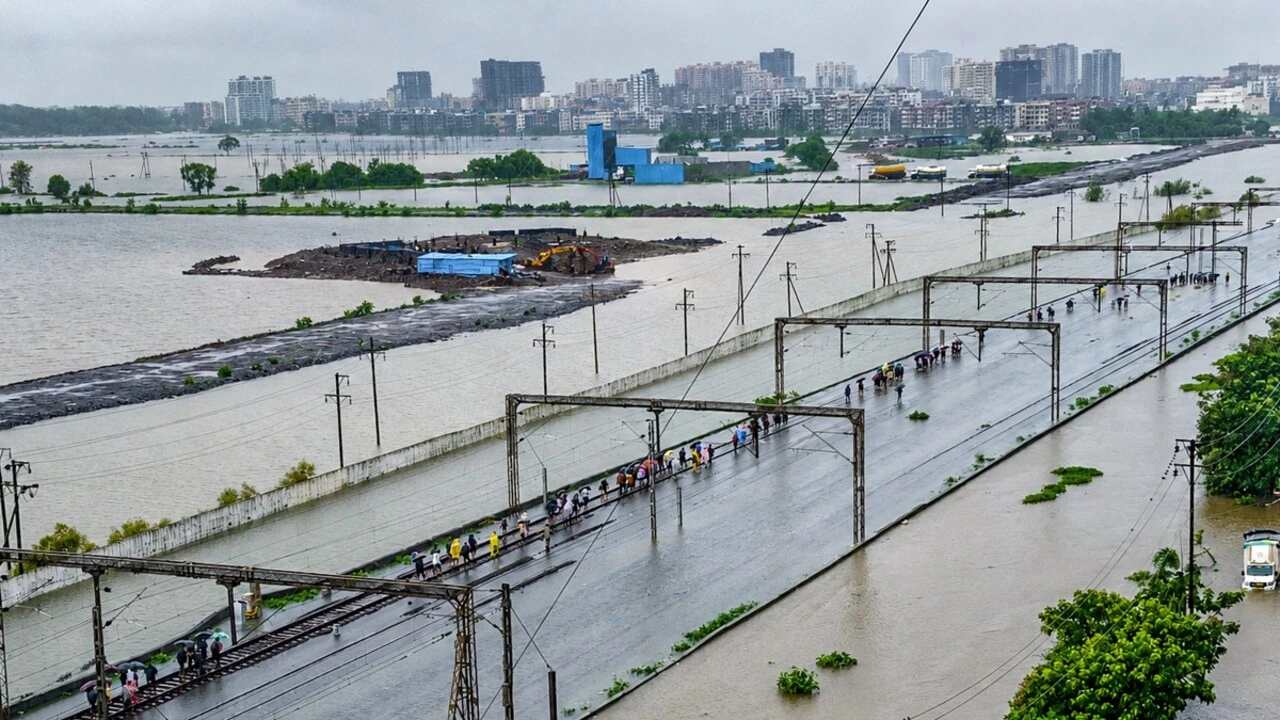
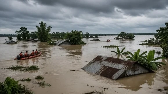
In a departure from the Brahmaputra's predictable annual swelling, July 2026 brought a different kind of natural fury to Assam. A massive cloudburst originating in the hills of neighbouring Nagaland caused millions of gallons of water to cascade into Upper Assam with terrifying speed, triggering devastating flash floods across the region.
This sudden onslaught presented a unique challenge, distinct from the gradual rise of river waters that the state typically prepares for. Official figures from the state disaster management authority indicate that 11 districts in Upper Assam bore the brunt of these flash floods, while four districts in Middle Assam also experienced severe impacts.
Concurrently, urban centres like Guwahati found themselves battling their own localised flood crises. The capital city's struggle against waterlogging is a complex interplay of torrential downpours, unchecked rapid urbanisation, and a persistent inadequacy in its drainage infrastructure.
Heavy rainfall transformed major arterial roads into virtual streams, paralyzing daily commutes and bringing commercial hubs to a standstill. Areas including Satgaon, Sawkuchi, Jorabaat, Boragaon, Maligaon, and Sixmile were among those most severely affected, underscoring the strain on the city's strained civic amenities.
While Assam is no stranger to the monsoon's powerful rhythm, the events of July 2026 highlight the evolving nature of climatic challenges, demanding renewed focus on both disaster preparedness for sudden events and sustainable urban planning.
Continue Reading