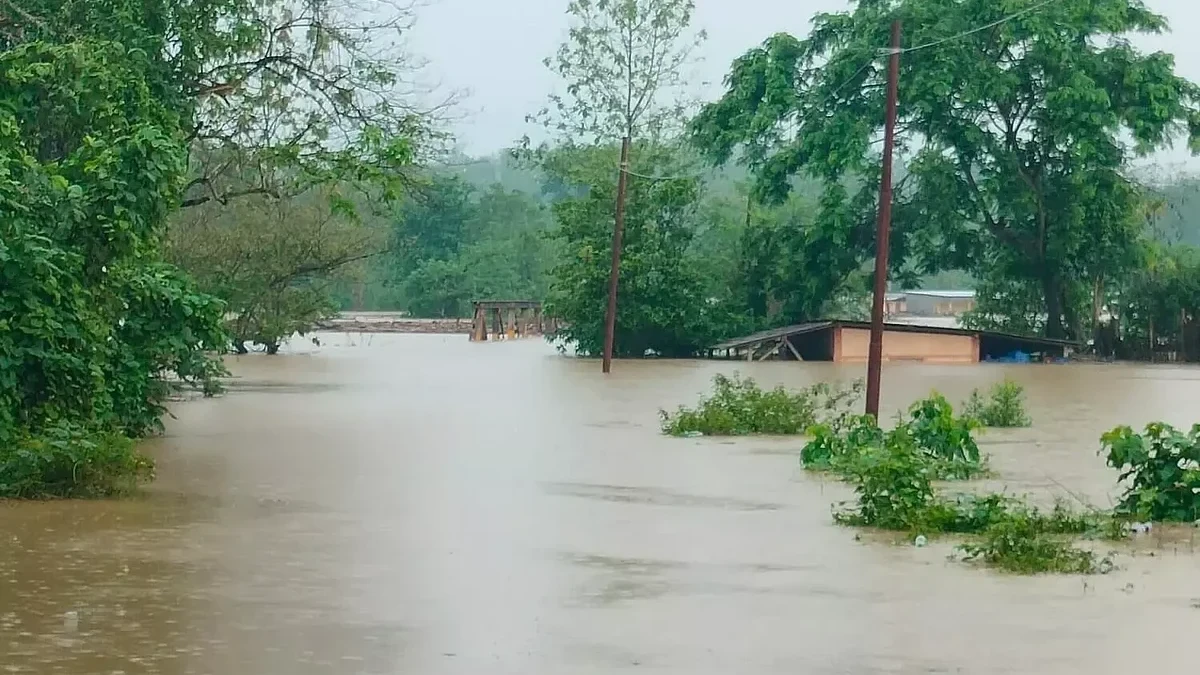
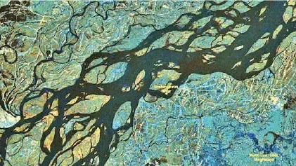
New Delhi: The Indian Space Research Organisation (ISRO) has delivered 33 critical flood inundation maps to the Assam State Disaster Management Authority (ASDMA) this monsoon season, up until July 28. This crucial support aims to strengthen the state's capacity for flood management and emergency response, Union Minister Jitendra Singh recently informed the Lok Sabha.
These specialized maps offer near real-time and historical data on flood-affected areas, which are indispensable tools for strategic planning. They assist in regulating developmental activities within floodplains and are vital for executing efficient rescue and relief operations during periods of inundation.
The advanced mapping products were generated using a combination of Synthetic Aperture Radar (SAR) and optical satellite data, integrated through the National Database for Emergency Management (NDEM). SAR technology provides all-weather, round-the-clock imaging capabilities, ensuring data availability even during adverse weather conditions, while optical data offers high-resolution visuals under clear skies and daylight.
Providing these detailed flood inundation maps is one of several initiatives undertaken by ISRO to furnish district-level flood information and enhance the timeliness and effectiveness of rescue and relief operations across Assam. The national space agency is also exploring other measures, including leveraging globally available satellite data and developing semi-automated, sensor-specific data processing algorithms to further refine its services to the flood-prone northeastern state.
Continue Reading