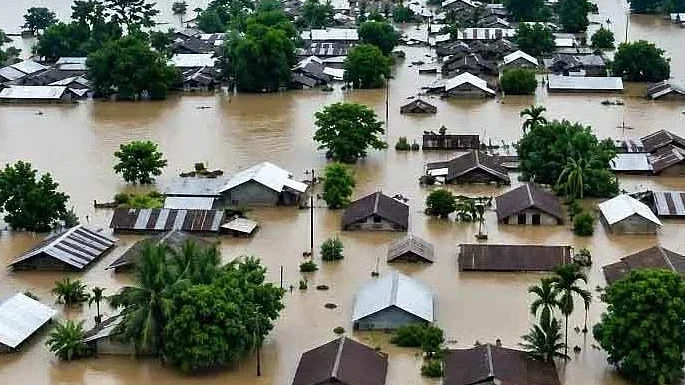
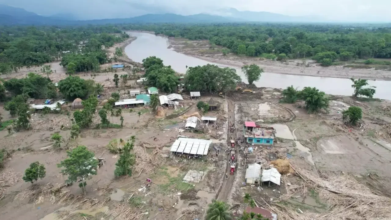
Eastern Assam's flood-affected regions are slowly witnessing a return to normalcy as water levels decline, but the aftermath of the recent deluge reveals significant vulnerabilities that demand immediate attention. The severe flooding, which intensified between July 18 and 22, was not merely a consequence of unprecedented rainfall but also exacerbated by a confluence of upstream environmental degradation and perceived shortcomings in disaster readiness.
Reports indicate that heavy rainfall, sometimes exceeding 137 mm, across Assam, Arunachal Pradesh, and Nagaland, led to a rapid swelling of major rivers including the Dikhow, Disang, Darika, Dhansiri, Jhanji, and Bhogdoi. These rivers, carrying an immense volume of muddy water, quickly surpassed their capacities, leading to widespread embankment breaches and inundation.
A critical factor contributing to the disaster, as highlighted by various assessments, was significant man-made environmental degradation in the hilly terrains of Nagaland. This degradation, combined with the intense precipitation, funneled a sudden and overwhelming surge of water and debris into Assam's river systems.
Furthermore, questions have arisen regarding the efficacy of early warning systems. It is understood that the Nagaland administration promptly ed Assam about a potential disaster. However, the Assam State Disaster Management Authority (ASDMA) reportedly struggled to fully grasp the gravity of these warnings, pointing to a potential lack of an efficient internal mechanism for interpreting s and implementing rapid preventive measures.
This recurring crisis underscores the pressing need for robust interstate cooperation and the implementation of scientific flood management strategies. As the region moves from immediate relief to recovery, authorities face the challenge of addressing these systemic issues to build long-term resilience against future climatic events.
Continue Reading