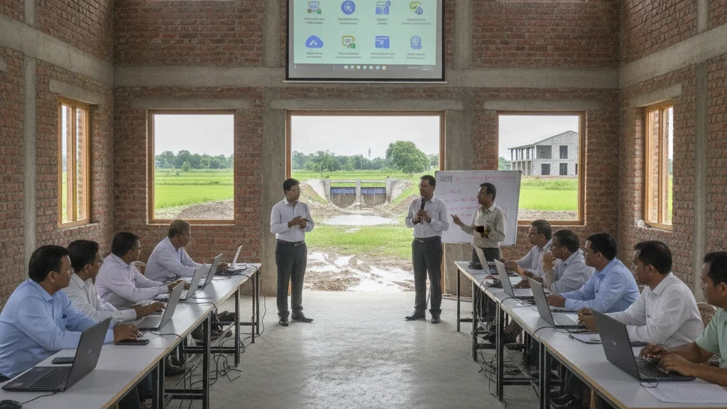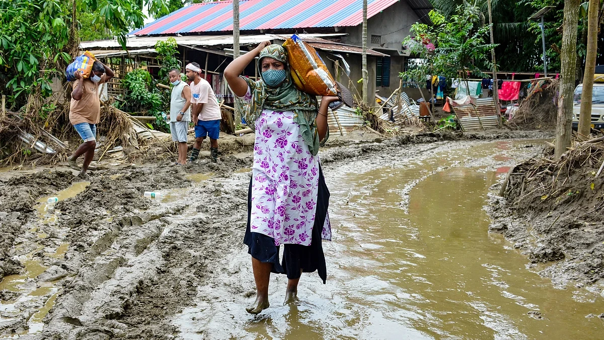
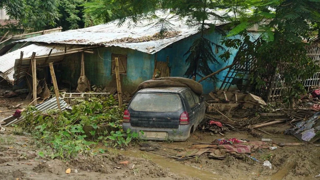
After weeks dominated by urgent rescue operations and relief efforts, Assam has entered a critical new phase in responding to its devastating floods: a comprehensive assessment of the damage left behind. Government teams began a door-to-door survey on Sunday, August 8, 2026, in four of Upper Assam's most severely impacted districts.
The meticulous exercise, which is scheduled to continue until August 30, aims to digitally document the full extent of the destruction across Sivasagar, Charaideo, Jorhat, and Golaghat. This systematic approach comes as the flood-related death toll in the state has tragically climbed to 98, with approximately 1.55 lakh individuals still grappling with the aftermath and displacement.
Officials indicate that this detailed assessment is vital for moving beyond immediate crisis management towards long-term recovery and rehabilitation. By digitally mapping the damage, authorities hope to gain a precise understanding of the losses incurred by communities, infrastructure, and livelihoods. This data will be instrumental in formulating effective strategies for rebuilding and supporting those affected.
The initiative marks a significant shift from the initial focus on saving lives and providing immediate aid. As the floodwaters recede in many areas, the true scale of the disaster, often overlooked once the immediate headlines fade, is now being carefully measured. The findings from this assessment are expected to inform future disaster preparedness and resource allocation for the state.
Continue Reading