Guwahati: For generations, the Brahmaputra has relentlessly eroded massive tracts of land across Assam, shrinking the state's overall geographical area. However, as the massive river shifts its course over decades, it periodically deposits silt and forms new landmasses. Addressing this natural phenomenon, the state administration has initiated steps to explore whether these newly emerged stretches can be scientifically reclaimed and utilized for productive purposes.
Chief Minister Himanta Biswa Sarma shared details of the initiative during a visit to the Koyatol project site. The visit was part of the integrated river bank protection, flood mitigation, and sustainable reclamation project spanning Srihati Chapori and surrounding areas in Kamrup (Rural). According to the Chief Minister, while erosion has historically taken away significant portions of land, the river often returns territory over a span of 25 to 50 years.
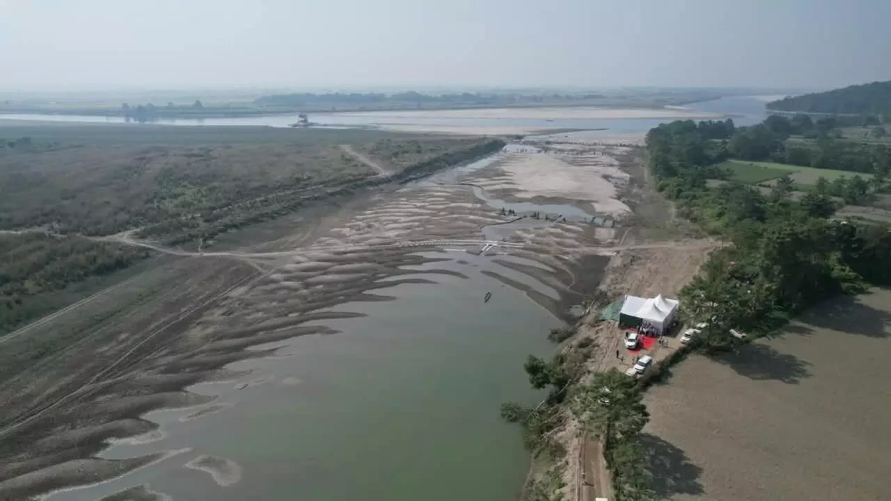
Highlighting specific instances, Sarma pointed to the emergence of land situated below Bogibeel towards Dhemaji as a prime example of this natural cycle. Furthermore, local officials have noted that approximately 2,000 to 2,500 bighas of land have surfaced along the river stretches extending from near the Hajo-Laheswari temple toward Srihati, with similar deposits also recorded in Mayong.
Building on these observations, authorities are now mapping these newly formed land parcels along the Brahmaputra as part of a proposed land reclamation project. The administration aims to study the viability of utilizing these areas safely and sustainably moving forward.
Continue Reading