Assam's struggle with devastating floods is not a new phenomenon but a deeply ingrained aspect of its history, with records indicating significant inundations dating back centuries. Historical accounts, including the Ahom buranjis, frequently reference major flood events, such as one in 1570 that nearly led to famine conditions across the region, underscoring the perennial nature of this hazard.
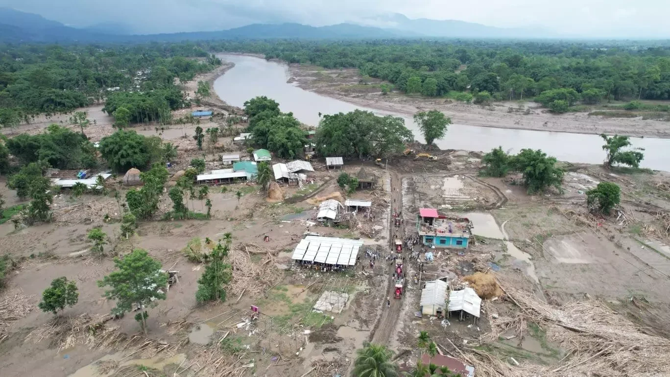
In recent times, the scale of destruction has been immense. The 1988 floods, considered among the worst in the Brahmaputra valley, severely impacted 12.5 million people across 8,770 villages. The deluge damaged an astonishing 46.5 lakh hectares of land, including 13.35 lakh hectares of crucial cropped area, highlighting the profound socio-economic toll.
The root causes are multifaceted. Naturally, the lithological erodibility of the Himalayas contributes significantly, causing rivers to carry vast amounts of detritus and leading to heavy siltation. This geological factor, combined with an extremely potent monsoon regime, creates ideal conditions for widespread flooding. However, human intervention has gravely aggravated the situation.
Extensive deforestation has denuded critical forest cover, diminishing the land's capacity to absorb rainfall. Furthermore, the relentless encroachment on wetlands, which historically served as natural reservoirs to contain overflowing floodwaters, has drastically reduced these vital buffers. Critically, planners have often failed to adequately consider the unique characteristics of Assam's dynamic river systems when developing essential infrastructure such as roads, railways, and bridges, inadvertently creating new impediments to natural water flow. This combination of historical vulnerability and contemporary missteps ensures Assam remains trapped in a recurring cycle of floods and relief efforts.
Continue Reading